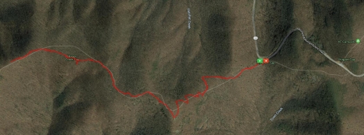
Another four miles hiked this past weekend. Greg and I set out on Sunday to hike the Tower Loop Road at Smithgall Woods State Park, we packed our watershoes and a towel and everything in preparation for fording the knee-high creek. But when we arrived at the park, we were greeted with signs “HUNT IN PROGRESS.” Not wanting to get shot with a bow and arrow, Greg and I skedaddled out of there and drove up Richard Russell Scenic Highway to do some hiking on the Appalachian Trail.
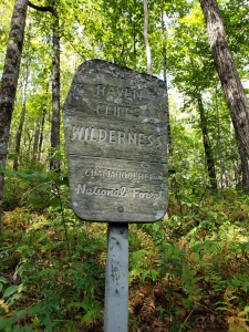
The AT touches Richard Russell in a couple of spots. The first place, it actually crosses the road. There’s a nice little parking lot that is consistently full of the cars of folks day hiking or camping somewhere along the trail, but if you go a little further down the road, past the AMAZING OVERLOOK SPOT OF AWE, there’s another, smaller parking lot on the left. This is Tesnatee Gap. The AT merely brushes against the highway here, veering back into the woods for about a mile before crossing at that first spot I mentioned.
This section of the AT, for some unknown reason, is less popular. Which I don’t understand at all. There’s an absolutely amazing vista view less than a mile in. Of course, it’s uphill the entire time, which may dissuade some hikers, but it’s totally worth it!
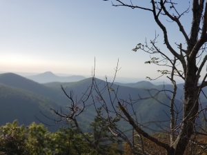
We typically hike this trail earlier in summer, when the blackberries are in. They grow everywhere around the rock face at the peak, and so there’s been a couple of years where we’ve made a point to get up there during the later part of blackberry season (they grow a couple weeks later up there than in lower elevations) and pick a few bowlfuls, giggling as the hummingbirds dive-bomb us.
This weekend, we went a little further than the initial summit of beauty, and did an extra hilly mile. In and out, we did a smidgen over 4 miles total, with an elevation gain of 1050 ft.
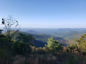
The weather was perfect and visibility was good, but not perfect. We chitchatted with several folks (oddly enough, all from Florida). Overall, it was an awesome hike.
