Hiking: Appalachian Trail at Tesnetee Gap

Another four miles hiked this past weekend. Greg and I set out on Sunday to hike the Tower Loop Road at Smithgall Woods State Park, we packed our watershoes and a towel and everything in preparation for fording the knee-high creek. But when we arrived at the park, we were greeted with signs “HUNT IN PROGRESS.” Not wanting to get shot with a bow and arrow, Greg and I skedaddled out of there and drove up Richard Russell Scenic Highway to do some hiking on the Appalachian Trail.
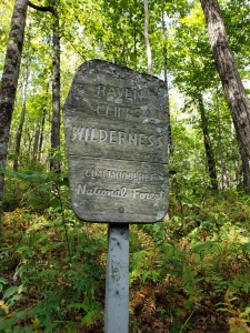
The AT touches Richard Russell in a couple of spots. The first place, it actually crosses the road. There’s a nice little parking lot that is consistently full of the cars of folks day hiking or camping somewhere along the trail, but if you go a little further down the road, past the AMAZING OVERLOOK SPOT OF AWE, there’s another, smaller parking lot on the left. This is Tesnatee Gap. The AT merely brushes against the highway here, veering back into the woods for about a mile before crossing at that first spot I mentioned.

This section of the AT, for some unknown reason, is less popular. Which I don’t understand at all. There’s an absolutely amazing vista view less than a mile in. Of course, it’s uphill the entire time, which may dissuade some hikers, but it’s totally worth it!
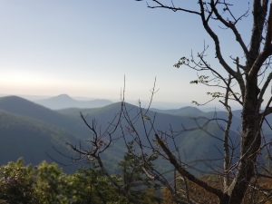
We typically hike this trail earlier in summer, when the blackberries are in. They grow everywhere around the rock face at the peak, and so there’s been a couple of years where we’ve made a point to get up there during the later part of blackberry season (they grow a couple weeks later up there than in lower elevations) and pick a few bowlfuls, giggling as the hummingbirds dive-bomb us.

This weekend, we went a little further than the initial summit of beauty, and did an extra hilly mile. In and out, we did a smidgen over 4 miles total, with an elevation gain of 1050 ft.
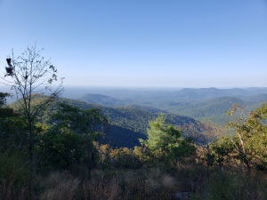
The weather was perfect and visibility was good, but not perfect. We chitchatted with several folks (oddly enough, all from Florida). Overall, it was an awesome hike.


Hike: Ash Loop Trail at Smithgall Woods State Park

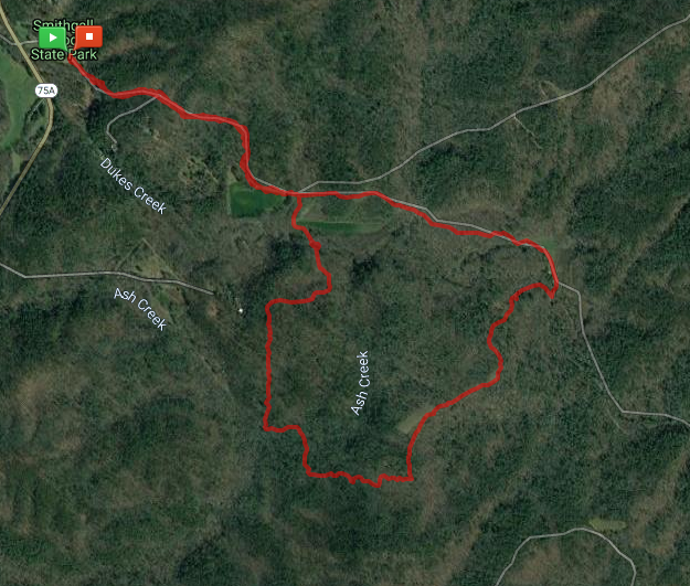
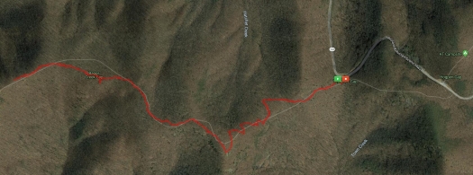
GPS map of Ash loop Trail

Greg and I are on day 3 of a week-long vacation. Keeping to a typical Sunday ritual, we left out early this morning to hike at Smithgall Woods State Park outside of Helen, GA. There are several options to choose from, but today, we decided to go on the Ash Loop Trail.

Covered Bridge at Smithgall Woods
I love the covered bridge at Smithgall Woods State Park

Scotch was the lucky corgi who got to go on the hike with us today. He’s getting older, and arthritis is starting to affect him. However, he’s been doing really good with his meds and it’s been a long time since he’s gotten to go hiking. We chose the Ash Loop Trail because it isn’t too strenuous (only a 615 ft elevation change). Clocking in at just a hair under 4 miles (3.96), it is long enough for the humans to feel like we accomplished something and short enough to where our buddy boy Scotch could make the journey without injury.

Purple flowers with blurred background
Purple flowers along Tsalaki trail near the wetland area.

From the visitor’s center, we hiked down Tsalaki Trail (the paved road that runs through Smithgall) to the southern trailhead for the Ash Creek Loop. We prefer hitting the south end first because you do have to wade through the creek at one point on the trail, near the northern end of the trail, so we like to keep it for later in the trip.

It’s rained here a little bit the past couple of days. Enough to settle the dust a bit, but not much else. It hasn’t been helpful with the heat or the humidity. This morning, while not miserable, was sticky. I’m glad we were on the trail by 8am and finished by 10am. Much later and it would have been uncomfortable, even in the woods.

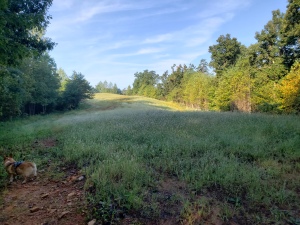
Clearing on top of a hill. A corgi runs in the bottom left corner
One of the clearings on the trail.

Oddly enough, we didn’t see a single other (human) soul during our time at the state park this morning. Only one other car was parked in the parking lot as we were leaving. Smithgall is usually a more hopping place, especially with Octoberfest activities going on in Nearby Helen.

While we met no humans, we did see and come face-to-face (literally) with several spiders and a couple rafters of turkey.  (Yup, a group of turkeys is called a “rafter.” I totally had to Google that one.)

A Corgi in a creek, lapping up water
Scotch taking a quick dip and drink in the Creek

One of the things about the trails at Smithgall that make these hikes interesting is that on several of them, you have to ford one or more creeks. On Ash Creek Loop, you have to go through two. The first one (if you start from the south) is tiny and if your boots are water-proofed, you can just splash through it no problem. The second one, though, it deeper than it looks. The first time Greg and I did this trail, we were unprepared. We hiked up our pants, took off our boots, and waded across barefoot with two corgis swimming beside us (Twinkie and Scotch). This time, we were better prepared.

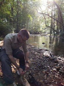
Greg sitting by the creek, putting his boots back on
Greg sitting by the creek, putting his boots back on.

Zip off pants – Check.

Watershoes to change into – Check.

Folding tripod trail chairs to make changing shoes easier – Check.

Soon after wading through the creek, we returned to the paved part of Smithgall Woods and made our way back to the visitor’s center parking lot.

A fun way to start our Sunday. Afterwards? Nachos and vegging on the couch. Sundays afternoons are made for relaxing and re-energizing.

More Pictures from the trail:

This slideshow requires JavaScript.

Hike: Slaughter Gap – AT – Jarrard Gap Loop

Map showing the Slaughter Gap to AT to Jarrard Gap Loop at Lake Winfield Scott

Today, Greg and I took Beans the Hiking Corgi up to Lake Winfield Scott to hike the Slaughter Gap to Appalachian Trail to Jarrard Gap Loop. Just shy of 6 miles, this hike is a goody.

At the trail head for the Slaughter Gap Trail

We pack up our gear last night so that we could get an early start this morning. We were out of the house by 7:10am and on the trail by 8:10. It was 54 Degrees when we got out of the truck. The chill felt so good, a welcome tease of fall, but the day warmed up quickly. It took us a smidgen over 3 hours to do the 6-mile loop, stopping for a 15 minute break near the half-way point.

This was only the third time we’ve done this hike, but it was the first time for Beans. It was also the first time that we’ve done it without getting lost — the first time was going the opposite way, the trail head for the Jarrard Gap end is kinda hidden… and the sun was in our eyes… and… you know. Stuff. The second time was also starting from the Jarrard Gap end. There is a spot about 1.5 miles in where the trail seemingly forks. Word to the wise – Take the right fork. The left fork will get you there, but it’s a bit more of a climb and a longer trek up a gravel road.

Blood Mountain Wilderness sign on the AT

We had no hiccups this time and Beans enjoyed herself, she even got to play in several of the streams we had to cross.

And even though it was an amazing day, we hardly met any other people on the trail. Early on, we passed a group of very polite young men (possibly scouts), with a couple of chaperones, and then didn’t see anyone else for a couple of hours. Eventually, we came across a few other people (4 in total), and three other pups.

Beans the Hiking corgi playing in a mountain creek.
Beans cooled herself off by taking quick dips in the various creeks.

I love this area, and I love how there are so many trails that interweave with the Appalachian Trail around Blood Mountain.

There were several points on the trail where I just stopped and took a deep breath, letting the fresh mountain air rejuvenate me. There’s nothing quite like hiking through a hilly forest on a cool, low humidity day. I’m ready to tackle this upcoming week.

As the weather cools, we will be hitting the trails more and more around North Georgia.

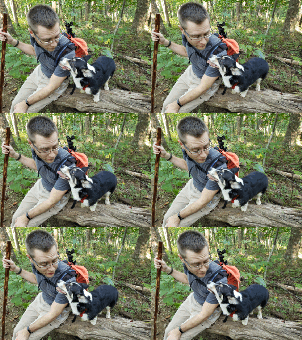
Gif of Greg and beans the Corgi on a fallen tree
Beans and Greg taking a quick sit-down break on a fallen tree

More pictures from the trail:

This slideshow requires JavaScript.